Greenway Adventures Nyc
STATEN ISLAND EASTERN COASTLINE

STATEN ISLAND EASTERN COASTLINE
Route by Harbor Ring
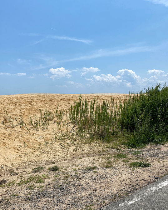
This beach route starts from the St. George Ferry Terminal and works its way around the southeastern coastline of Staten Island. You'll find miles of beaches for sunbathing and swimming along the bike-friendly FDR Boardwalk. If you are looking for a smoother surface, hop down to the paved greenway that runs parallel to the boardwalk. If you are arriving by car or local to the area, this is a great family friendly route for all ages.
Coming from South Brooklyn? Free bike racks are available on MTA buses running over the Verrazano Narrows Bridge. Bikes are allowed on both the S53 and S93 bus routes that connect Port Richmond, Staten Island to Bay Ridge, Brooklyn. Wanna explore a bit more? Continue south on the route to Great Kills Park or take a detour west from the starting point over to Snug Harbor.
National Grid is committed to a clean energy future and working every day for the benefit of customers and the environment while offering tremendous support for events each year in the communities where employees live and work. For additional information on National Grid’s commitment to a clean energy future, view our Responsibility Calls video here.
ROUTE SPONSORED BY NATIONAL GRID
GREENWAY FEATURES
PARKS
BEACHES
MUSEUMS
BIKE RENTALS
DISTANCE
8 Miles
DIFFICULTY
Beginner
BEST DAYS
S M T W T F S
ROUTE NOTES
This route is a 50/50 split of road
riding and boardwalk/greenway. Also, see Google map for optional route extensions.


ABOUT OUR PARTNER
Harbor Ring advocates for a 60-mile recreational route circling New York Harbor that unites Staten Island, Brooklyn, and Manhattan in New York with Fort Lee, Jersey City, Hoboken, and Bayonne in New Jersey, including a bicycle and pedestrian pathway over the Verrazzano-Narrows Bridge.


